Hawai'i Rainforest Travel Guide
Most people plan a Hawaii trip around beaches and forget the islands hold real rainforest — the kind with waterfalls you have to hike to, birds found nowhere else on Earth, and one spot that gets more rain in a year than almost anywhere on the planet. No passport, no visa, no fourteen-hour flight to the tropics: just the Big Island's Puna and Hamakua coasts, dripping with lava-born jungle, and Kauai's wet interior, where a mountain called Waiʻaleʻale sits under cloud cover more days than not. This is a working guide to that side of Hawaii — where it is, when to go, how to get around, and where to actually sleep in it.
Hawaii's rainforest, honestly
Say "Hawaii" and most people picture Waikiki, a resort pool, maybe a luau. What they don't picture is a windward coast so wet it grows wild ginger and guava in the highway median, or a swamp sitting at high elevation on a mountain that competes for the title of wettest spot on Earth. Both are real, both are a rental car away from the airport, and neither gets the attention it deserves.
The reason Hawaii has rainforest at all comes down to geography most visitors never think about. The islands sit in the path of the northeast trade winds, and every one of the main islands has a windward side, facing the wind, and a leeward side, sheltered from it. Moist ocean air slams into volcanic mountains on the windward side and is forced upward, cooling as it rises and dumping rain — sometimes an extraordinary amount of it — while the leeward side, in the mountain's rain shadow, can stay bone dry a few miles away. That single mechanic is why Kona, on the Big Island's dry leeward coast, and Hilo, on its drenched windward coast, feel like different countries separated by an hour's drive, and why Kauai holds both a "wettest spot on Earth" contender and a canyon so parched it earned the nickname "the Grand Canyon of the Pacific."
This guide covers the two places where that windward-side rainforest is easiest to actually get into and stay in: the Big Island's Puna and Hamakua coasts, and Kauai's wet interior around the Alakaʻi Plateau and the Nā Pali Coast. Both are true tropical and subtropical rainforest — not resort landscaping dressed up with palm trees — and both reward slowing down more than they reward a checklist.
It's also worth saying what this isn't. It isn't unbroken wilderness the way parts of the Amazon or Costa Rica's Osa Peninsula are — Hawaii is small, settled, and crossed by highways even where it's wettest. What it has instead is intensity per square mile: young, still-forming land on the Big Island where lava has met jungle within living memory, and on Kauai, some of the oldest, most eroded, most botanically distinct terrain in the islands, isolated long enough to evolve plants and birds found nowhere else on the planet.
The regions, and how they differ
"Hawaii rainforest" isn't one place, even within the two islands this guide focuses on. Here's how the ground actually breaks down.
Puna, Big Island
Puna is the Big Island's easternmost district, and it is, geologically speaking, the youngest ground in Hawaii — some of it the youngest ground on Earth, still being added to by Kilauea. Lowland tropical rainforest covers most of it: dense ʻōhiʻa and strawberry guava forest growing straight out of cooled lava flows, with pockets of cleared land for small farms and off-grid homesteads. The 2018 lower Puna eruption reshaped the district's map in real time, burying the Kapoho tide pools and the community of Vacationland under new lava and adding acreage to the coastline — a blunt reminder that this rainforest sits on genuinely active ground, not a metaphorically "wild" one. Highway 137, the Red Road, threads along the coast through jungle so thick it closes over the road in places, past warm volcanically heated ponds, black sand beaches and the town of Pāhoa, Puna's small, unpolished main hub.
The Hamakua Coast, Big Island
North of Hilo, the Hamakua Coast runs along the Big Island's northeastern, windward shoulder — old sugar plantation country now given back almost entirely to rainforest, waterfalls and steep, stream-cut gulches. This is the most reliably lush, most conventionally "jungle" stretch of the island: Akaka Falls State Park, where a short paved loop trail through bamboo and giant philodendron leads to the 442-foot Akaka Falls and the smaller Kahuna Falls nearby; the Hawaii Tropical Botanical Garden above Onomea Bay; Waipiʻo Valley, the "Valley of the Kings," a mile-wide, jungle-walled valley with a black sand beach at its mouth and a history as a center of political and religious life in old Hawaii. Kalopa State Recreation Area, up in the hills above Honokaʻa, protects one of the last accessible stands of native rainforest on this coast, largely untouched by the invasive species that dominate lower elevations.
Hawaii Volcanoes National Park
Technically part of the Puna and Kaʻū districts, Hawaii Volcanoes National Park deserves its own mention because it's the one place on the Big Island where rainforest and raw volcanism sit side by side without a buffer. Established in 1916, the park protects the summits and slopes of two active volcanoes, Kilauea and Mauna Loa, and the Kilauea side in particular is ringed by wet ʻōhiʻa forest thick with native birdlife — a strange, striking contrast to the steaming, nearly lifeless caldera at its center. The short walk through the Thurston Lava Tube (Nāhuku) drops you straight from rainforest canopy into a tunnel carved by a lava river centuries ago, which is as good a one-stop summary of this island as anywhere.
Kauai's wet interior
Kauai is the oldest of the main Hawaiian islands, roughly five million years old, and the most eroded — which is exactly why it earned the nickname "the Garden Isle." At its center sits Mount Waiʻaleʻale, and on its flank, the Alakaʻi Plateau holds the Alakaʻi Swamp, widely cited as the highest-elevation swamp in the world. Waiʻaleʻale is regularly named among the wettest spots on Earth, averaging roughly 450 inches of rain a year, with a recorded 666 inches in 1982 — though by some long-term measurements a site in Mawsynram, India edges it out for the title, depending on which averaging period you trust. Either way, a few miles away, rainfall drops to a fraction of that, which is how the same island holds both this drenched, mist-bound swamp and Waimea Canyon, a genuinely arid, red-walled gorge that Mark Twain reportedly called the "Grand Canyon of the Pacific." A boardwalk trail through the Alakaʻi Swamp, reached from Kokeʻe State Park, is one of the only ways to walk directly into this ecosystem, and on a clear day it ends at an overlook down into Wainiha Valley and out toward the north shore.
The Nā Pali Coast
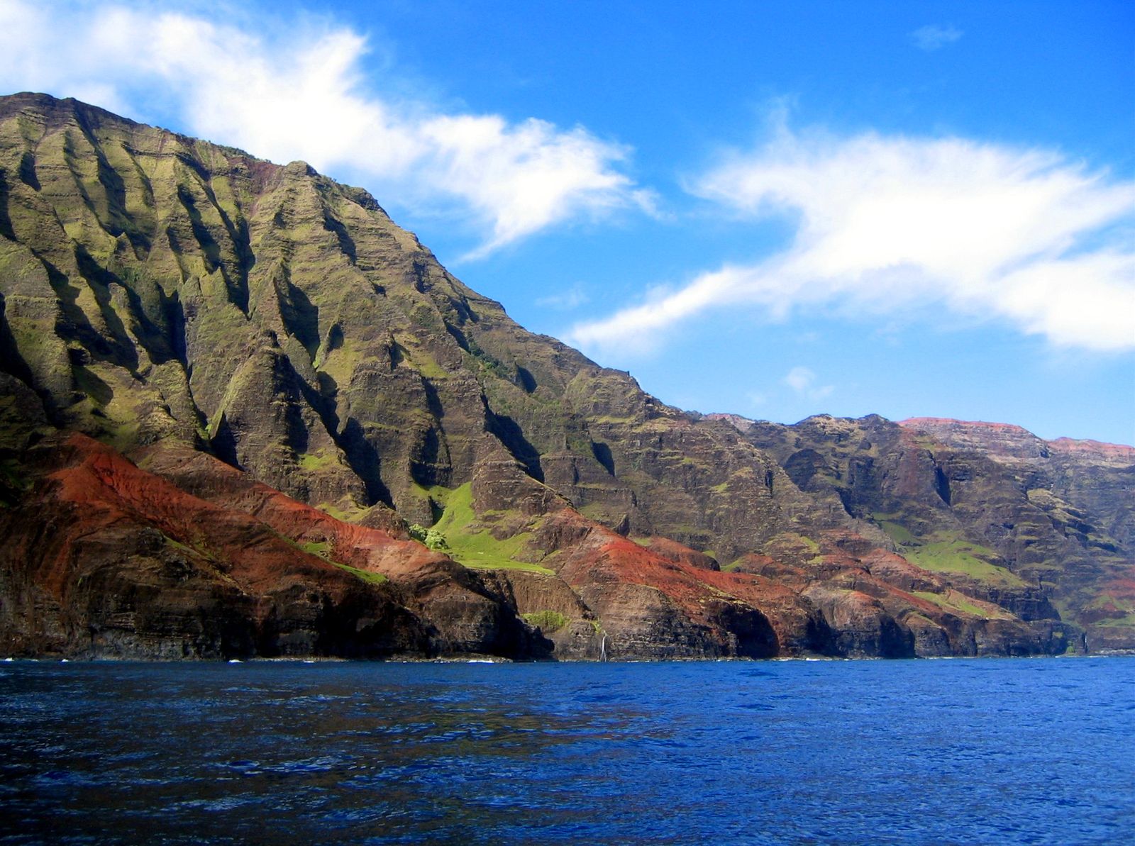
West of Hanalei, the paved road ends and the Nā Pali Coast begins — roughly 17 miles of sea cliffs, some rising close to 4,000 feet, cut by hanging valleys thick with rainforest and accessible almost nowhere by road. The Kalalau Trail, 11 miles one-way from Kēʻē Beach to Kalalau Valley, is the only way in on foot, and it's genuinely demanding — narrow, exposed in places, and prone to flash flooding at stream crossings. Most visitors see it instead by boat, kayak in calmer summer months, or air tour, and even a short, legal day-hike to Hanakāpīʻai Beach, about two miles in, delivers real rainforest and real coastline without a permit.
When to go
Hawaii doesn't run on the sharp wet-season, dry-season split you'd find in Southeast Asia or Central America. It has two broad seasons — a wetter, cooler "winter" roughly November through March, and a drier, warmer "summer" roughly April through October — but on the windward coasts covered in this guide, rain is a near-constant backdrop rather than a season you can dodge. Hilo and the Hamakua Coast, and Kauai's north shore and interior, all see meaningful rainfall in every month; the difference is more about how much, and how it falls, than whether it falls at all.
- November–March: the wetter, cooler months, with more frequent storm systems, bigger surf on north-facing shores, and the highest odds of a multi-day soggy stretch on Hamakua or Kauai's north shore. Waterfalls run fullest in this window, which is a real upside if that's what you're chasing.
- April–May: a shoulder period many repeat visitors like — rain eases from winter peaks, trade winds are steady, and crowds haven't hit summer levels yet.
- June–August: the driest, warmest stretch overall, though "dry" on a windward coast still means regular showers — expect sun-and-rain-and-sun-again days rather than a true dry spell. This is peak family travel season, so lodging and flights price accordingly, particularly around July.
- September–October: another comparatively quiet shoulder window, warm and with crowds thinning after summer, before winter's wetter pattern sets back in.
Two things matter more than the calendar. First, microclimates: a sunny morning in Kona says nothing about conditions in Hilo an hour away, and a clear day at Kokeʻe can turn to zero visibility on the Alakaʻi boardwalk within the hour, since Waiʻaleʻale generates its own weather most days regardless of season. Second, volcanic activity on the Big Island doesn't follow a season at all — Kilauea's eruptive activity is monitored continuously by the USGS Hawaiian Volcano Observatory, and access to parts of Hawaii Volcanoes National Park can open or close on short notice depending on what the volcano is doing. Check current conditions before finalizing a Big Island itinerary rather than assuming last year's trip report still applies.
Good to know
"Rainy season" on these coasts doesn't mean it rains all day. The more common pattern, especially in summer, is a clear morning, a passing shower midday, and sun again by afternoon — pack a light rain shell you can stuff in a day pack rather than planning around full-day washouts.
Getting there and getting around
Three airports matter for this guide. On the Big Island, Ellison Onizuka Kona International Airport (KOA), on the dry leeward coast, has the most direct mainland flights and is the better choice if you're splitting time between Kona-side resorts and the rainforest coasts. Hilo International Airport (ITO), on the windward side, sits far closer to Puna, the Hamakua Coast and Hawaii Volcanoes National Park, with fewer direct mainland routes but a much shorter drive once you land — worth it if the rainforest, not the beach resorts, is the actual point of the trip. On Kauai, Lihue Airport (LIH), on the island's southeast side, is the only real option and puts you within reasonable striking distance of both Waimea Canyon and the north shore, though the drive to Hanalei or Haʻena at the start of the Nā Pali Coast still takes the better part of an hour.
A rental car is close to mandatory on both islands. Neither the Big Island's rainforest coasts nor Kauai's north shore and interior have public transit built for visitors — the Big Island's Hele-On Bus system exists and is free, but it's designed around local commuting routes and schedules, not sightseeing. Roads themselves are generally paved and well maintained on the routes covered here — Highway 19 along Hamakua, Highway 137 through Puna, Highway 560 to Haʻena on Kauai — though sections narrow to one lane at stream crossings on Kauai's north shore, and Highway 560 has a reservation system in high season limiting how many cars can pass the Hanalei Bridge toward Haʻena State Park and the Kalalau trailhead, so check current entry requirements before you drive out that morning.
Inter-island travel, if you're combining the Big Island and Kauai in one trip as this guide suggests, means a short flight — there's no ferry service between the main Hawaiian islands. Hawaiian Airlines and a handful of other regional carriers connect Kona, Hilo, Lihue and Honolulu on frequent short hops, and building a one- or two-night buffer around each inter-island leg is worth it in case of schedule changes.
Where to stay
Where to base yourself should follow which rainforest you're prioritizing, and Hawaii's range of jungle-adjacent stays runs wider than most visitors expect — this is, after all, one of the birthplaces of the modern treehouse rental. On the Big Island, Volcano Village, just outside the entrance to Hawaii Volcanoes National Park, sits at a cool, misty elevation inside real ʻōhiʻa forest and has built a genuine niche around treehouse and jungle cabin stays, close enough to walk into the park. Puna, particularly around Pāhoa and the coastal stretch near Highway 137, leans more off-grid and rustic — properties built into lava-field jungle, often solar-powered, closer to the district's homesteader roots than to anything resort-branded. Hilo itself, and towns along the Hamakua Coast like Honomū near Akaka Falls, offer a more conventional home base with easier access to both the waterfalls and the drive up to the park.
On Kauai, the north shore towns — Hanalei, Wainiha, Hāʻena, Kīlauea — put you closest to both the wet interior and the start of the Nā Pali Coast, with stays ranging from simple cottages under a rainforest canopy to larger homes looking out over Hanalei's taro fields toward the mountains. Kokeʻe, up near Waimea Canyon, is the only realistic base for an early start on the Alakaʻi Swamp boardwalk, and lodging there is sparser and simpler by design.
For an actual shortlist of vetted stays across both islands, see our Hawaii destination page, and the wider directory if you're still weighing Hawaii against another jungle destination before booking anything.
Hawaii's best jungle stays don't try to compete with the beach resorts down the coast. They lean into being somewhere else entirely — cooler, wetter, quieter, closer to the birds than to the pool bar — which is the whole reason to book one instead of a room in Waikiki.
The best things to do
The best of this side of Hawaii rewards walking, water and patience over a packed checklist, same as any real rainforest destination.
- Walk the short loop trail to Akaka Falls: under a mile round-trip through bamboo groves and wild orchids, ending at a 442-foot waterfall — one of the highest payoff-to-effort ratios on this list.
- Drive the Red Road through Puna: Highway 137 runs close along the coast through dense jungle, past warm volcanically heated ponds and black sand beaches, with Pāhoa a natural stop for food and a look at Puna's unpolished, off-grid character.
- Spend a full day in Hawaii Volcanoes National Park: the crater rim area, steam vents, the Thurston Lava Tube surrounded by native forest, and, road conditions permitting, the drive down Chain of Craters Road through changing ecosystems to the coast.
- Look down into Waipiʻo Valley: the lookout alone, at the end of the Hamakua Coast road, is worth the stop — a mile-wide, jungle-walled valley with a black sand beach and deep significance in Hawaiian history as the boyhood home of Kamehameha I.
- Walk the Alakaʻi Swamp boardwalk from Kokeʻe: the only real way to get inside the world's highest swamp on foot, ending, on a clear day, at an overlook into Wainiha Valley and the north shore.
- Stand at a Waimea Canyon overlook, then compare notes with the Alakaʻi hike: the same island holding both a near-desert canyon and one of the wettest places on the planet is the single best illustration of how Hawaii's windward-leeward split actually works.
- Hike to Hanakāpīʻai on the Nā Pali Coast: a roughly two-mile, no-permit-required stretch of the Kalalau Trail delivers real cliff-and-jungle scenery and a beach at the end, without the overnight camping permit the full trail requires.
- See the Nā Pali Coast from the water: a boat tour, or a kayak trip in the calmer summer months, shows you sea cliffs and hanging valleys that are essentially inaccessible by road or trail.
- Visit the Hawaii Tropical Botanical Garden above Onomea Bay: a mature, curated collection of tropical plants set into a natural coastal valley on the Hamakua Coast, an easier way to see rainforest diversity up close than most trail walks.
The wildlife you'll actually see
Hawaii's wildlife story is unusual among rainforest destinations, and worth understanding before you go looking for animals. The islands have no native land mammals at all except one — the Hawaiian hoary bat, or ʻōpeʻapeʻa — because everything else that flies, walks or slithers here today arrived with people, intentionally or not. Mongooses, brought over in 1883 to control rats in sugarcane fields, now range across most of the main islands and prey heavily on ground-nesting birds and eggs; Kauai is the one major island where mongooses never took hold, which is a large part of why it's become a stronghold for ground-nesting native birds that have declined elsewhere. There are no snakes in Hawaii, native or otherwise — bringing one in, even accidentally, is treated seriously — and no large predators to plan around.
What you're really here for are the birds. Hawaii's honeycreepers are one of the most dramatic examples of evolutionary radiation anywhere on Earth: more than 50 species and subspecies once existed, evolved from a single ancestral finch that reached the islands millions of years ago, and only 17 remain today. Introduced avian malaria, spread by a mosquito species that arrived in 1826, is the primary reason so many are gone or critically endangered — the disease is often fatal to native birds and largely absent only at higher, cooler elevations where the mosquitoes that carry it struggle to survive. That's why places like the ʻōhiʻa forest ringing Hawaii Volcanoes National Park and the high plateau around the Alakaʻi Swamp matter as much as they do: they're increasingly the last refuges. The ʻiʻiwi, a bright red honeycreeper with a curved bill built for sipping ʻōhiʻa lehua nectar, and the ʻapapane, smaller and more common, are the two you have realistic odds of spotting in native forest on both islands. On Kauai specifically, the Alakaʻi Plateau holds the ʻakikiki, one of the most endangered birds on the planet, now down to fewer than a hundred individuals in the wild — seeing one isn't a realistic expectation, but its presence is part of why this particular swamp matters so much to conservation biologists.
The nēnē, Hawaii's state bird and the world's rarest goose, is a genuine conservation success story worth knowing before you spot one. The population fell to roughly 30 wild birds by 1952, and a captive breeding program that began in 1918 with just four birds is a major reason the species survived at all; it was downlisted from endangered to threatened in 2019. Kauai, free of the mongooses that hammer ground-nesting birds elsewhere, has become one of the best places in the state to see nēnē in the wild, including around Kīlauea Point and the island's north shore wetlands, alongside the Big Island's Volcano and Mauna Loa areas.
Away from the birds, feral pigs are common in wetter forest on both islands and, while rarely dangerous to hikers, do real ecological damage — rooting up native plants and creating standing water that breeds mosquitoes. ʻŌhiʻa lehua, the dominant native tree across most of this guide's rainforest, faces its own modern threat in Rapid ʻŌhiʻa Death, a fungal disease first identified on the Big Island in the 2010s that has killed trees across large areas; boot-cleaning stations at trailheads in affected forest exist for a real reason, not as theater, and using them matters.
Good to know
An invasive species you'll hear before you see: the coqui frog, introduced to Puna in the late 1980s and now extremely common there, with a call loud enough to be genuinely startling on a first night in the district. It's harmless, and for many visitors it becomes part of the charm of a Puna stay rather than a nuisance — though it's one more reminder of how much of what you'll encounter in Hawaii's rainforest arrived from somewhere else.
Costs and budgeting
Hawaii is one of the more expensive destinations covered on this site, and it's worth planning for that honestly rather than being surprised by it. Almost everything — food, fuel, building materials, most consumer goods — arrives by ship or plane, and that cost shows up everywhere from a grocery receipt to a dinner bill. A realistic budget traveler should expect $120 to $180 a day covering a simple rental car, basic lodging or camping, and cooking or eating cheaply; a comfortable mid-range trip runs $250 to $450 a day once a nicer rental property, restaurant meals and a few paid activities or tours are factored in. Flights, both to Hawaii and between islands if you're combining the Big Island and Kauai, are worth budgeting separately, and inter-island fares fluctuate enough that booking ahead pays off.
Camping is the honest budget option on both islands — state park campgrounds exist at Kalopa on the Hamakua Coast and at Kokeʻe on Kauai, both requiring an advance permit through Hawaii's state parks system, and both putting you inside real rainforest for a fraction of the cost of a rental property. Hawaii Volcanoes National Park charges a standard NPS per-vehicle entrance fee, valid for seven days, or accepts the annual America the Beautiful pass, and that's the only formal park entry fee anywhere in this guide — the Hamakua waterfalls, Puna's coastal jungle and Kauai's north shore involve no comparable ticketing beyond occasional paid parking or small county park fees.
The U.S. dollar is the currency, credit cards are accepted almost everywhere, and tipping follows standard U.S. norms — roughly 15 to 20 percent at restaurants, a few dollars per bag for hotel staff, and a similar range for tour guides. Gas runs consistently higher than the U.S. mainland average, which matters more here than in most destinations given how much driving both islands require.
Health, safety and practical tips
Hawaii is a U.S. state, which simplifies some things — no currency exchange, U.S. cell coverage in most populated areas, English-speaking throughout — but the rainforest terrain and ocean here carry real, specific risks worth knowing before you go.
Flash flooding: streams that look shallow and calm can rise fast during heavy rain upstream, even under a clear sky where you're standing. This is a genuine, recurring hazard on trails that cross streams, the Kalalau Trail's Hanakāpīʻai crossing among them — if a stream looks high or is running fast and brown, wait it out rather than crossing.
Ocean safety: Hawaii's beaches, particularly on north-facing and exposed coasts, see strong currents, shorebreak and seasonal high surf, especially in winter. Not every beach has a lifeguard. Check posted conditions, ask locally if you're unsure, and treat any warning flag seriously rather than as a formality.
Volcanic hazards and vog: Kilauea's activity is unpredictable and monitored by the USGS Hawaiian Volcano Observatory, whose public updates are worth checking before a Big Island trip and again once you're there. Volcanic smog, known locally as vog, can affect air quality downwind of active vents, particularly in Kaʻū and parts of Puna, and is worth factoring in if you have respiratory sensitivities.
Sun and heat: the tropical sun at this latitude is stronger than it feels, including through cloud cover, and reef-safe sunscreen is required by state law for a reason — it's both a health and a conservation choice near Hawaii's coral reefs.
Trail conditions: both the Hamakua Coast and Kauai's north shore mix well-maintained, family-friendly paths with genuinely difficult terrain — the Kalalau Trail in particular is narrow, exposed and not to be underestimated because it starts at sea level. Check current trail and permit status before committing to anything beyond a short, established walk.
Reservations and permits: Haʻena State Park, the gateway to the Nā Pali Coast on Kauai, runs an advance reservation system for both entry and parking during peak periods, and the full Kalalau Trail requires a camping permit issued by the state. Book ahead rather than assuming you can show up and walk in.
Wildlife etiquette: keep a respectful distance from nēnē and any native bird, don't feed wildlife, and stay on marked trails in forest affected by Rapid ʻŌhiʻa Death — boot-cleaning stations exist to slow a disease that's already killed a significant number of native trees.
A suggested route
Combining the Big Island and Kauai into one trip means an inter-island flight in the middle, and it's worth building real slack around that connection rather than scheduling it tight.
- Days 1–2: land at Hilo (ITO) or Kona (KOA) and settle on the Hamakua Coast or in Hilo itself. Spend the first full day on the short loop trails at Akaka Falls and the Hawaii Tropical Botanical Garden, then drive to the Waipiʻo Valley lookout to close the day.
- Days 3–4: continue to Volcano Village and spend a full day in Hawaii Volcanoes National Park — crater rim trails, the Thurston Lava Tube, and Chain of Craters Road if conditions allow. Use a second day for Puna: the Red Road, a warm pond, and time in Pāhoa.
- Day 5: fly from Hilo or Kona to Lihue on Kauai (LIH). Base yourself on the north shore, around Hanalei, Wainiha or Kīlauea.
- Days 6–7: drive up to Kokeʻe State Park for the Alakaʻi Swamp boardwalk, timing it for a clear morning before afternoon cloud typically rolls in, and pair it with an overlook stop at Waimea Canyon on the same drive up or down.
- Days 8–9: spend a day on the Kalalau Trail as far as Hanakāpīʻai (no permit required beyond this point), and a second day seeing the rest of the Nā Pali Coast by boat or kayak, weather and season permitting.
- Day 10 or later: a slower final day around Hanalei and the north shore's taro fields and wildlife refuge before flying home from Lihue.
A tighter version of this trip drops one island entirely rather than rushing both — the Big Island alone supports a full week between Puna, Hamakua and the national park, and Kauai alone does the same between the wet interior and the Nā Pali Coast. If you're building a longer Pacific or island-hopping trip, our guides to Bali's jungle and Puerto Rico and El Yunque both cover destinations with a similar volcanic-island, no-passport-needed-if-you're-American logic, at least for the Puerto Rico comparison.
Common questions
Which Hawaiian island has the most rainforest?
The Big Island has the largest total area of rainforest, spread across the wet windward Puna and Hamakua districts and up into Hawaii Volcanoes National Park. Kauai's rainforest is smaller in area but includes the Alakaʻi Swamp, among the wettest and most botanically distinct spots in the state, plus the Nā Pali Coast's cliff-and-valley jungle.
Is Hawaii's rainforest a true tropical rainforest?
Yes, on the windward coasts covered in this guide — Puna, Hamakua and Kauai's north shore and interior all receive enough consistent rainfall to qualify as true tropical or subtropical rainforest. The leeward sides of the same islands, Kona on the Big Island among them, sit in a rain shadow and can be nearly arid a short drive away.
Do I need a permit to hike the Nā Pali Coast?
Not for the short stretch to Hanakāpīʻai Beach, about two miles in on the Kalalau Trail, though Haʻena State Park's entry and parking reservation system applies year-round. Continuing past Hanakāpīʻai toward Kalalau Valley requires an overnight camping permit issued by the state, and it should be booked well in advance.
What's the best time of year to visit for waterfalls and wildlife?
Waterfalls run fullest during the wetter months, roughly November through March, when rainfall on both windward coasts peaks. For steadier weather with less risk of a multi-day washout, April through May and September through October are the better shoulder windows. Native birds like the ʻiʻiwi and ʻapapane are present year-round in high-elevation forest, without a strong seasonal pattern to plan around.
Is it safe to visit the Big Island given the active volcano?
Generally yes — Hawaii Volcanoes National Park and the surrounding area are closely monitored by the USGS Hawaiian Volcano Observatory, and access is adjusted or restricted when conditions warrant it. Checking current volcanic activity and any park closures before and during your trip is a simple, necessary step, not a reason to avoid the island.
Can you see Hawaii's rainforest without a rental car?
Not realistically. Neither the Big Island's rainforest coasts nor Kauai's north shore and interior have visitor-oriented public transit, and a rental car is close to essential for reaching trailheads, waterfalls and the national park on your own schedule.
Where to go from here
Hawaii's rainforest rewards picking one island and giving it real time rather than trying to see the Big Island and Kauai on a rushed week. Start with our Hawaii destination page for a shortlist of vetted jungle-adjacent stays, or browse the full directory if you're still weighing Hawaii against somewhere else entirely. If you're comparing island destinations more broadly, our guides to Puerto Rico and El Yunque and Bali's jungle cover two of the other places most often set alongside Hawaii, and our roundup of the best jungle Airbnbs in the world is a good next stop if you're still comparing regions before booking anything.
- National Park Service — Hawaiʻi Volcanoes National Park — park history, founding year, features and entrance fee structure.
- Go Hawaiʻi — Hamakua Coast — Hamakua region rainfall, Akaka Falls height and Waipiʻo Valley context.
- Kauai Travel Blog — Is Kauai the Wettest Place on Earth? — Mount Waiʻaleʻale rainfall averages, 1982 record, and comparison to Mawsynram, India.
- Kukuiʻula — Mount Waiʻaleʻale, Kauai — Alakaʻi Swamp elevation context and the sharp rainfall contrast with Waimea Canyon nearby.
- USGS — A Climate Change Canary in the Coal Mine: The Endangered Hawaiian Honeycreepers — honeycreeper species decline, avian malaria and mosquito introduction timeline.
- Hawaii Division of Forestry and Wildlife — Nēnē — nēnē population history, captive breeding program and 2019 downlisting.
- Hawaii Business Magazine — Native Honeycreepers Evolved Over 6 Million Years. Now They're Barely Hanging On. — ʻakikiki population status on the Alakaʻi Plateau.
- Wikipedia — Nā Pali Coast State Wilderness Park — coastline length, cliff heights and Kalalau Trail distance.
More from the Journal.
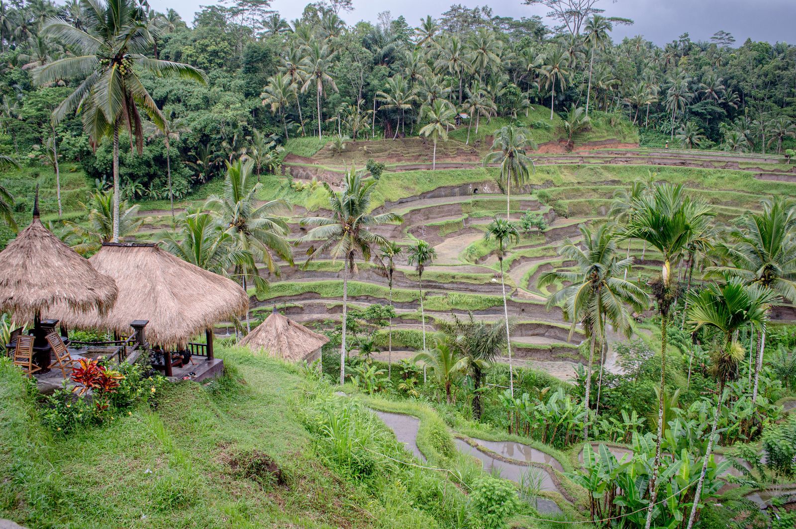 Photo: Philip Nalangan, CC BY 4.0
Bali Jungle Travel Guide
Everything you need to plan the interior of Bali — Ubud, Sidemen and the northern highlands — where to stay in the jungle, when to go and what it actually costs.
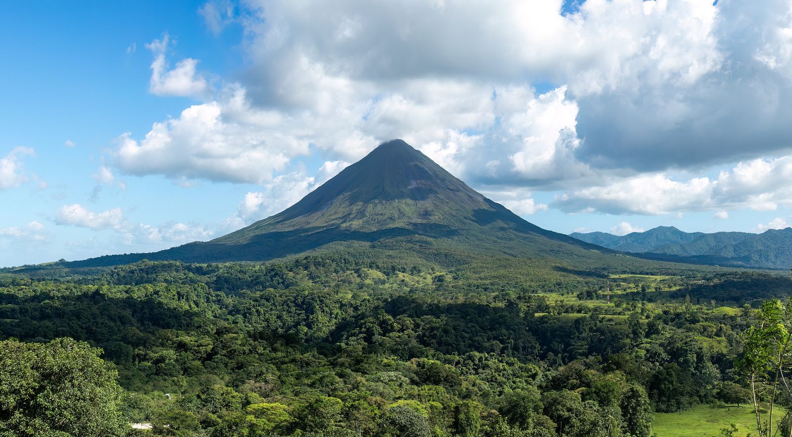 Photo: Rhododendrites, CC BY-SA 4.0
Costa Rica Rainforest Travel Guide
The definitive guide to Costa Rica's rainforests — cloud forest, Pacific lowlands and the wild Osa Peninsula — with where to stay and when to go.
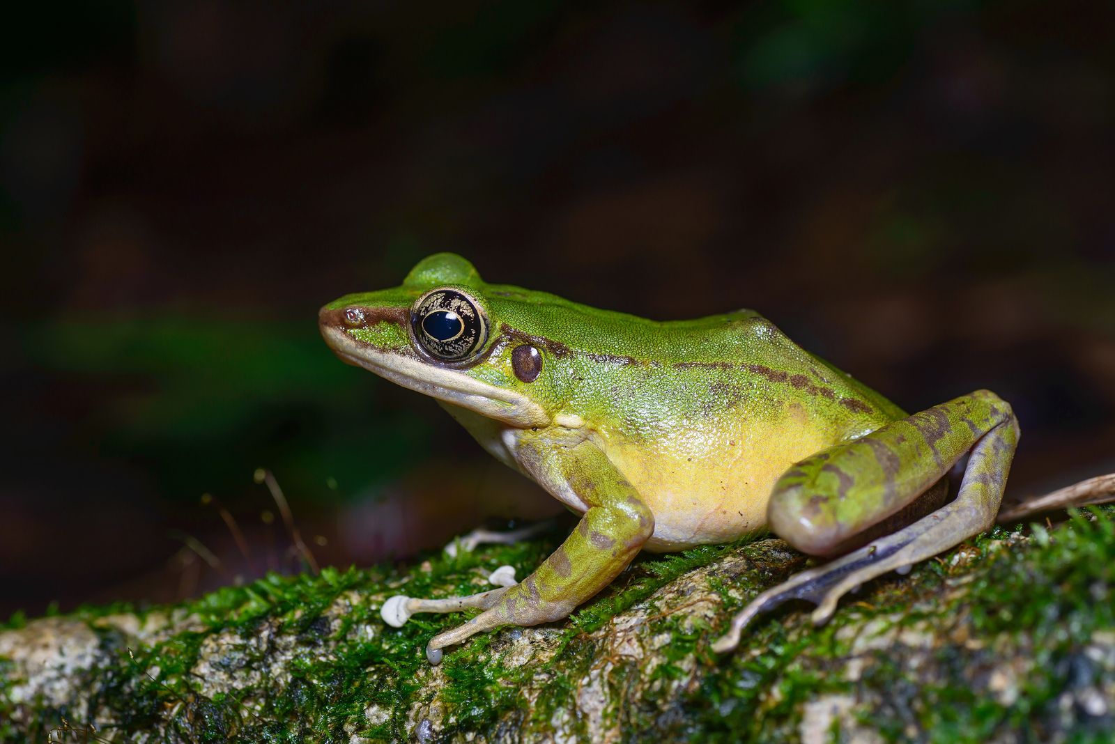 Photo: Rushenb, CC BY-SA 4.0
Thailand Jungle Travel Guide
Beyond the beaches: Khao Sok's ancient rainforest, the northern hills around Chiang Mai and the karst jungle of the south.
 Photo: Derek Ramsey (Ram-Man), CC BY-SA 4.0
Find your own piece of the canopy.
Treehouses, bamboo houses and rainforest villas across 17 destinations — found, vetted and written up honestly.
Browse all destinations