Panama Rainforest Travel Guide
Most travelers think of Panama as a canal with a country attached to it. That does the place a real disservice. Panama has more rainforest, by percentage of land area, than almost anywhere else in the hemisphere, and it packs an unusual amount of it within reach of a functioning capital city. You can eat breakfast in a Panama City high-rise and be standing under a rainforest canopy full of toucans and sloths before lunch. Go a little farther and you hit the wilder stuff: the cloud forests around Boquete, the Caribbean jungle-and-reef combination of Bocas del Toro, and the Darién, one of the last true wildernesses left on the continent. This guide covers all of it honestly, including the parts that require planning and the parts that don't live up to the hype.
An honest orientation
Panama is a land bridge, and that geography explains almost everything interesting about its rainforest. Species from North and South America meet here, which is part of why the country has one of the highest concentrations of bird diversity on earth for its size. The isthmus is also narrow enough that you can, on a clear plan, see Pacific rainforest, Caribbean rainforest, and highland cloud forest inside a single trip without spending half of it in transit.
The country's defining feature, the Panama Canal, is also its accidental conservation success story. The canal needs a functioning watershed to operate, which means the government has had a very practical, non-sentimental reason to protect the forest around it for over a century. That's why Soberanía and Chagres National Parks exist so close to a city of nearly two million people: the forest isn't there for tourists, it's there to keep the canal's locks full of fresh water, and tourism is a byproduct.
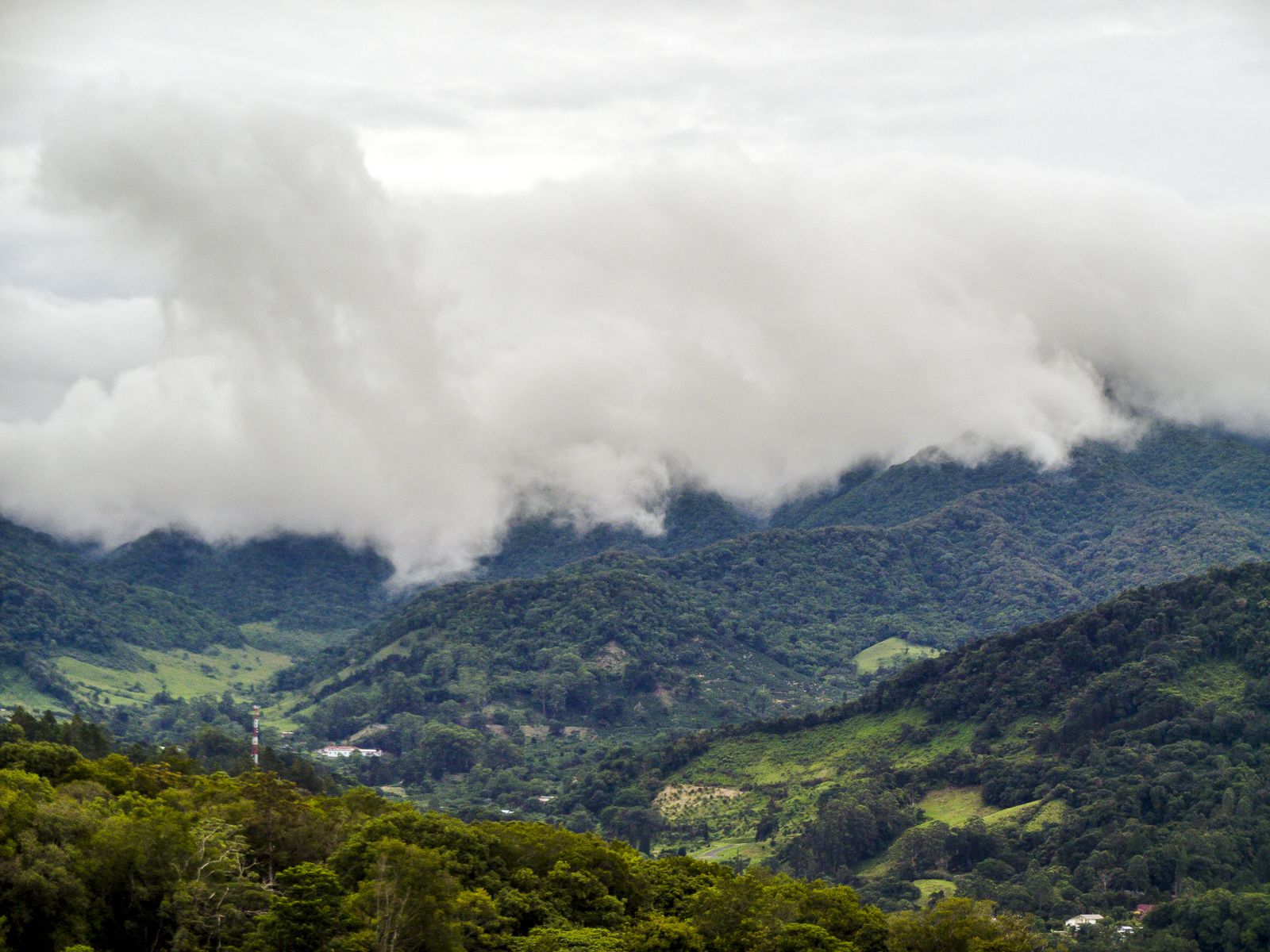
Move away from the canal watershed and the story changes. Bocas del Toro, on the Caribbean side near the Costa Rican border, is warm, humid nearly year-round, and mixes rainforest with mangroves, coral reef, and a laid-back island culture built partly on backpacker tourism and partly on a long-running expat community. The Darién, down toward the Colombian border, is the real wilderness: the largest protected area in the country, mostly roadless, and inhabited by Emberá, Wounaan, and Guna communities who have lived along its rivers for generations. And up in the western highlands, around Boquete and the slopes of Volcán Barú, the forest turns into cloud forest, cooler, mistier, and full of birds that don't show up in the lowlands, including the resplendent quetzal.
None of these places are secret. Panama has run organized ecotourism for decades, and Soberanía in particular gets a steady stream of birders. What's still true, though, is that outside a handful of well-worn routes, you can be genuinely alone in the forest here in a way that's gotten harder to find in more heavily marketed jungle destinations.
The rainforest regions, and how they differ
It helps to think of Panama's jungle in four rough zones, because they don't feel alike and they don't require the same kind of trip.
The Canal watershed: Soberanía and Chagres
Soberanía National Park sits about 25 kilometers from Panama City, on the eastern flank of the canal, and protects roughly 223 square kilometers of lowland rainforest. It's most famous for Pipeline Road (Camino del Oleoducto), a birding route that once held a single-day species record of 385 birds spotted in 24 hours. The park has recorded around 525 bird species and 105 mammal species, including two- and three-toed sloths, tamanduas, and four kinds of monkeys. Chagres National Park, just east of Soberanía, covers the watershed that feeds the canal and supplies most of Panama City's drinking water; it's less set up for casual visitors but includes access to Emberá communities along the Chagres River who run cultural visits by dugout canoe.
Bocas del Toro: jungle meets reef
Bocas del Toro is an archipelago and a mainland region on the Caribbean coast, and it's the part of Panama's jungle that feels least like "jungle travel" in the classic sense, because it's so easily mixed with beach and reef time. Isla Bastimentos National Marine Park protects virgin rainforest on Bastimentos island along with the largest stretch of Caribbean mangrove swamp in the country and important sea turtle nesting beaches. Offshore, the Cayos Zapatillas islands pair rainforest with some of the clearest water in the country.
The Darién: the real wilderness
Darién National Park is Panama's largest protected area, at around 576,000 hectares, and it's both a UNESCO World Heritage Site and a biosphere reserve. It is dense, mountainous, primary rainforest with essentially no road network; you get around by foot or by river. This is genuinely wild country, and it's important to separate two things that get conflated in headlines: the Darién Gap as a whole, a roughly 60-mile break in the Pan-American Highway that has become a dangerous migration corridor near the Colombian border, and the parts of Darién Province that are set up for organized, responsible tourism, mainly around Emberá and Wounaan communities on rivers like the Tuira, Chucunaque, and Sambú, well north of the border zone. More on that distinction in the safety section.
The western highlands: Boquete and La Amistad
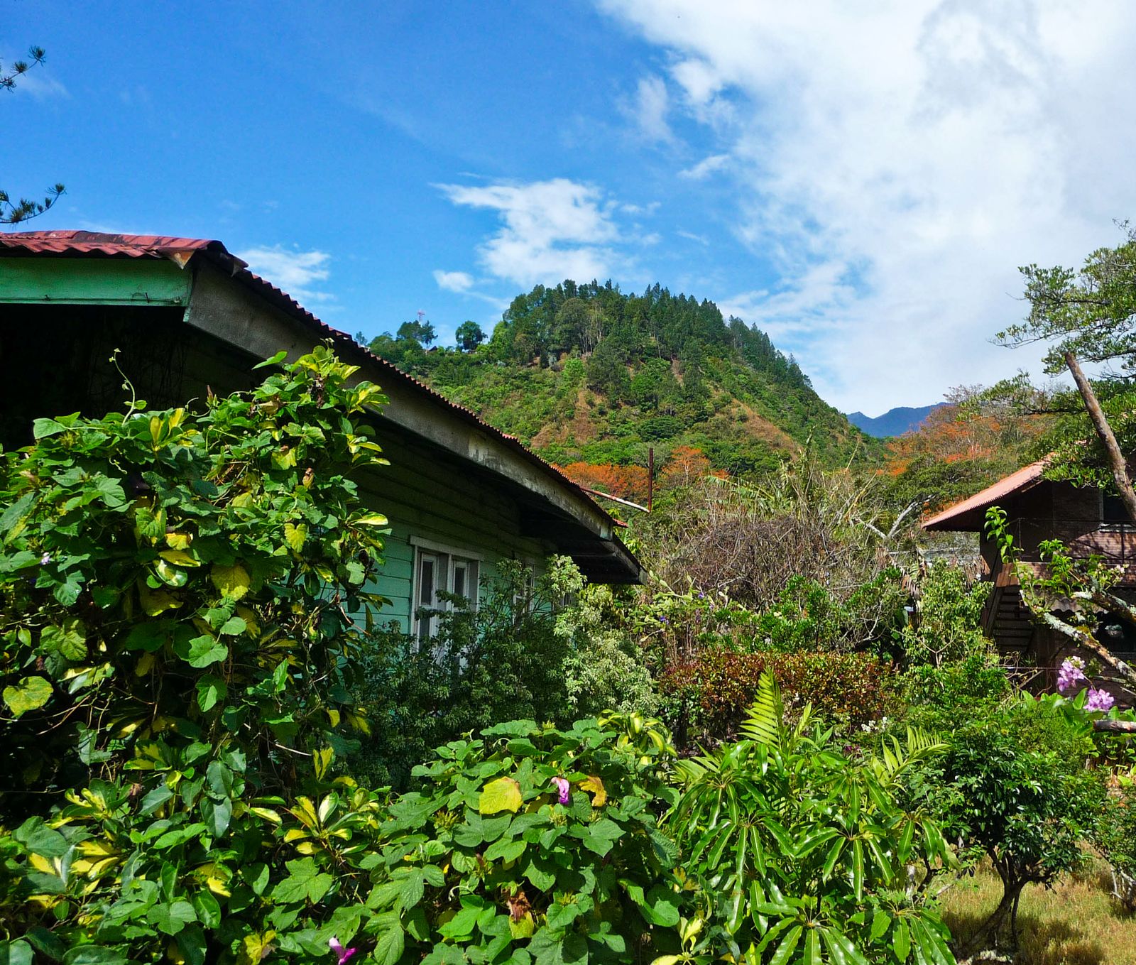
Around the town of Boquete, the elevation climbs toward Volcán Barú, an extinct volcano and Panama's highest point at 3,475 meters. The forest here shifts from lowland rainforest to cloud forest, cooler and often wrapped in mist, and it's the best place in the country for a shot at seeing a quetzal. La Amistad International Park straddles the border with Costa Rica and is itself a World Heritage Site, reachable from Cerro Punta, Changuinola, or Bocas del Toro depending on which side you're approaching from. If you've done Costa Rica's rainforest and want to see the Panamanian half of the same ecosystem, this is where to do it.
When to go
Panama runs on two seasons, not four, and which one suits you depends on what you're after. The dry season, locally called "verano" or summer, runs roughly December through April. The rainy season runs from about May through November or December, heaviest typically in October and November. That's the pattern for most of the country, including Panama City, the canal watershed, and the Pacific side.
Bocas del Toro doesn't play by those rules. Sitting on the Caribbean side with its own microclimate, it can rain there at almost any point in the year, and the driest stretches tend to fall in September–October and again in February–March, out of step with the rest of the country. If Bocas is your main destination, plan around its own pattern rather than the national one.
Dry season (December–April)
Trails are firmer, river crossings are easier, and this is when most organized tours and lodges run at full capacity. It's also, unsurprisingly, the more popular and slightly more expensive time to visit the canal-zone parks and the Darién. Wildlife viewing in the drier lowland forests can actually be easier in the tail end of the dry season, when animals cluster around remaining water sources.
Wet season (May–November/December)
Rain in Panama's rainy season usually means a hard downpour for an hour or two most afternoons, not an all-day washout, and mornings are frequently clear. This is also when the forest is at its greenest and rivers are running high enough for boat access into parts of the Darién and Chagres watershed that can be too shallow in the dry months. Fewer visitors are on the trails, and lodge rates tend to soften. If your main goal is birding, note that North American migrants pass through Panama in spring and fall, adding species to an already long list around passage periods.
Good to know
Don't build a Panama trip around dodging rain entirely; you can't, and the forest wouldn't be a rainforest if you could. Build it around which activities matter most to you: dry-season hiking and cooler, drier river crossings, or wet-season birding and a greener, quieter forest.
Getting there and getting around
Tocumen International Airport (PTY), about a 30-minute drive from downtown Panama City, is the country's main hub and one of the busiest airports in Central America, with direct connections from North America, South America, and Europe. Most trips start here regardless of which rainforest region you're headed to.
From Panama City, the canal-zone parks are close enough for day trips: Gamboa and the entrance to Soberanía are under an hour by road. Getting into the interior of Chagres or arranging an Emberá village visit typically means booking through a local operator who handles the boat leg, since the access points aren't set up for independent arrival.
For the western highlands and Bocas del Toro, you have two realistic options. You can fly domestically from Panama City to Enrique Malek International Airport in David, the largest city in the west, then continue by road up into Boquete (about 45 minutes) or across to Bocas by shuttle van and ferry. Or you can fly directly into Bocas del Toro's Isla Colón International Airport, which several domestic carriers serve from Panama City and, seasonally, from David. Overland travel between David and Bocas is also common: shared shuttle vans run multiple times a day, combining a road transfer with a short water-taxi hop out to the islands, and it's a scenic if longer alternative to flying.
The Darién is the region that actually requires advance planning. There's no meaningful road network past Yaviza, and the sensible way in is by small plane to an interior airstrip or by boat up the Tuira, Chucunaque, or Sambú rivers, arranged through an operator who works directly with the Emberá or Wounaan communities you'll be visiting. This is not a region to wing on arrival.
Within any of these regions, expect a mix of 4x4 trucks, dugout canoes (piraguas), and a fair amount of walking. Rental cars work fine for the canal zone and the highlands around Boquete, but they're not useful in Bocas' island towns or in the Darién.
Where to stay
Panama's rainforest lodging splits fairly cleanly by region, and each one has a different feel.
Gamboa and the canal zone
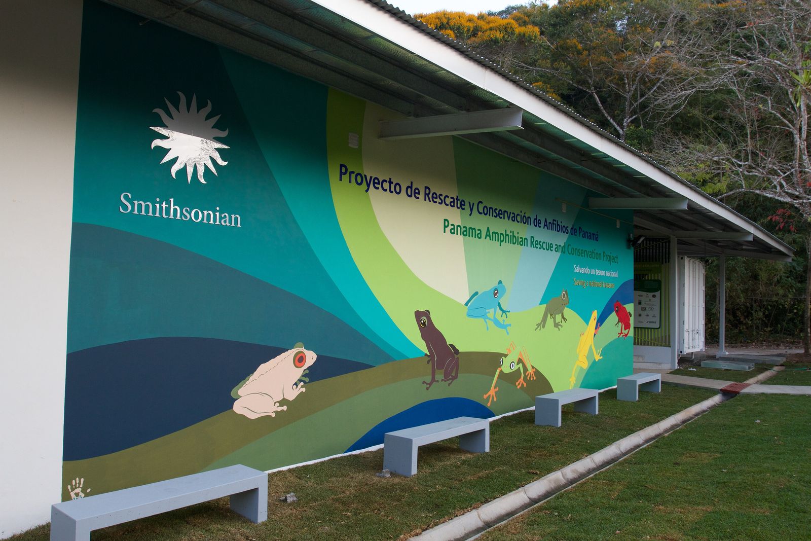
The town of Gamboa, at the confluence of the Chagres River and the canal, is the most convenient base for Soberanía and Chagres. It's close enough to Panama City for an easy transfer, but surrounded by forest, with the Smithsonian Tropical Research Institute's Barro Colorado Island reachable by boat for those who book ahead, since visits there are reservation-only and run through the Smithsonian.
El Valle de Antón
A couple of hours from Panama City, this town sits inside an extinct volcanic crater and makes a good, cooler stopover between the capital and the beaches or highlands, with easy access to short rainforest hikes and waterfalls.
Boquete
The highland town near Volcán Barú is Panama's most established base for cloud forest travel, with a mix of small inns and working coffee farms at altitude, cooler nights, and easy access to the quetzal-viewing trails on the volcano's slopes.
Bocas del Toro archipelago
Isla Colón is the main town and transport hub; Bastimentos and Carenero islands are quieter and closer to the rainforest and reef of the marine park. Stays here range from simple guesthouses to jungle-adjacent cabins reachable only by water taxi.
Darién
Lodging here is limited and mostly tied to specific tour operators or community-run stays in Emberá and Wounaan villages, booked as part of a multi-day trip rather than found independently on arrival.
For real, bookable stays across these regions, browse JungleBnB's full directory of jungle stays, which lists independently reviewed properties rather than paid placements. If you're coming from or comparing against other rainforest destinations, our guides to Costa Rica and Colombia cover the neighboring ecosystems on either side of Panama.
The forest doesn't care that a functioning capital city is thirty minutes away. Walk twenty feet off Pipeline Road and you could be in the middle of nowhere.
Things to do
Birding on Pipeline Road
This is one of the best-known birding routes in the world for a reason: the species count in Soberanía is enormous, and a half-day walk with a local guide who knows the calls will turn up more than a casual visitor would ever spot alone.
A partial canal transit
Several operators run half-day boat trips through a section of the Panama Canal, which sounds like an engineering excursion and turns out to also be a rainforest one, since much of the canal is bordered by the same protected watershed forest that supplies its water.
Emberá village visits
Along the Chagres River and in parts of the Darién, Emberá communities host day trips and multi-day stays that combine a dugout canoe ride with a look at traditional dress, crafts, and food. Book these through an established operator and go in with the understanding that it's a paid cultural visit, not a museum exhibit.
Snorkeling and the marine park, Bocas del Toro
Isla Bastimentos National Marine Park combines rainforest walks with some of the better reef snorkeling on Panama's Caribbean coast, plus the Cayos Zapatillas for a clearer-water day trip.
Hiking to the quetzal trails, Boquete
The Sendero Los Quetzales trail and other paths on Volcán Barú's slopes are the country's best shot at the resplendent quetzal, best attempted early morning with a local guide.
Surfing, Bocas del Toro and the Pacific coast
Bocas has a real surf scene layered on top of its rainforest and reef, and it's an easy add-on for travelers splitting time between jungle and water.
Good to know
A local guide is not a luxury add-on in Panama's rainforest, it's usually how you actually see anything. Sloths, monkeys, and most birds are easy to walk right past; a guide who spots and identifies them turns a quiet forest walk into a genuinely good day.
The wildlife you'll actually see
Panama's bird count is the headline statistic, and it's not hype: Soberanía alone has recorded around 525 species, and the country as a whole ranks among the most bird-dense places on the planet for its size, boosted further during migration season by North American species passing through. You don't need to be a dedicated birder to notice this; even a casual walk turns up toucans, motmots, and parrots without much effort.
Mammals are quieter but present. Two- and three-toed sloths turn up regularly in the canal-zone forests, moving slowly enough that a good guide can point one out from a distance. Four species of monkeys are found in Soberanía, including howler monkeys, whose calls carry for a surprising distance and are usually heard well before any animal is seen. Tamanduas, a smaller relative of the anteater, show up in the same forests. In the Darién, the mammal list gets more serious, with healthier populations of species that have been pushed out of more developed parts of the country.
Reptiles and amphibians round it out: poison dart frogs in several color variants, caimans along slower rivers and canal-zone waterways, and a long list of snakes that, realistically, you're unlikely to encounter unless you're specifically looking under logs.
None of this is guaranteed on any single walk, and anyone who promises a checklist of animals on a two-hour tour is overselling it. What Panama does reliably deliver is density and diversity: more species in a smaller area than most rainforest destinations, because of that land-bridge geography mixing North and South American wildlife in one place.
Costs and budgeting
Panama uses the US dollar, which makes budgeting straightforward, and costs vary a lot by region. Panama City and the canal-zone day trips run closer to a mid-range Central American city: reasonable guesthouse and mid-range hotel rates, with organized day tours to Soberanía, Gamboa, or a partial canal transit priced like any guided half-day excursion in the region. Boquete sits in a similar range, with a mix of budget guesthouses and small higher-end coffee-farm stays.
Bocas del Toro can swing either way. Isla Colón has a real backpacker infrastructure with cheap dorms and simple guesthouses, while the quieter outer islands and water-taxi-only jungle cabins run considerably higher, since everything has to be brought in by boat. Food and drink in Bocas track a similar spread, from basic local kitchens to imported-ingredient restaurants aimed at longer-staying expats.
The Darién is the most expensive region per day, not because anything there is inherently luxurious, but because access is the cost: charter flights or long boat transfers, community guide fees, and multi-day packages that bundle transport, lodging, meals, and guiding together. Independent budget travel here isn't really an option in the way it is elsewhere in the country.
Across all regions, a private guide typically costs more than joining a shared group tour, and booking transport and lodging as a package through an established operator tends to work out cheaper, and considerably less stressful, than piecing it together on arrival, especially for the Darién and for Barro Colorado Island.
Health, safety, and practical tips
Standard tropical travel precautions apply across Panama: drink bottled or treated water outside major hotels, use a solid insect repellent, and check current guidance on malaria and yellow fever prophylaxis for the regions you're visiting, since recommendations differ between the canal zone, the highlands, and the Darién. A basic first-aid kit and a way to treat minor cuts quickly matters more in humid jungle conditions, where small wounds can get infected fast.
On the Darién specifically: it's important to separate the Darién Gap as a migration corridor from Darién Province as a travel destination. The Darién Gap, the roadless stretch running to the Colombian border, has in recent years become a heavily used and dangerous route for mass migration on foot, and that specific border corridor is not a place for tourism, organized or otherwise. Darién National Park and the Emberá and Wounaan communities that host visitors are generally located well north of that corridor, and organized tours that work directly with these communities operate regularly and have done so for years. The sensible approach is simple: go with an established operator who works with the local communities, stay in the areas they operate in, and don't attempt independent travel toward the border region. Check current government and embassy travel advisories before booking, since conditions in the Darién shift.
Elsewhere, Panama's rainforest destinations are about as safe as organized jungle travel gets. Panama City has normal big-city precautions to take at night, and rural areas around Soberanía, Boquete, and Bocas are generally low-risk for visitors sticking to established tourist routes.
A few practical notes: cell signal is patchy to nonexistent in Chagres, most of the Darién, and parts of the Bocas archipelago, so tell someone your plan before heading out on a longer trip. Hiking boots that can handle mud, not just trail shoes, will serve you better than anything marketed as a "jungle shoe." And bring cash in smaller denominations for rural areas and community visits, since card acceptance drops off fast outside Panama City and the main tourist towns.
A suggested route
A workable ten- to twelve-day trip that touches the canal zone, the highlands, and the Caribbean, without the Darién's longer logistics, might run something like this:
- Days 1–3: Panama City and the canal zone. Base in Gamboa or Panama City itself, with a full day on Pipeline Road in Soberanía, a partial canal transit or boat trip to Barro Colorado Island if you booked ahead, and an Emberá village visit on the Chagres River.
- Days 4–6: Boquete and the highlands. Fly or drive to David, continue up to Boquete, and spend a couple of days on the cloud-forest trails looking for quetzals, plus a coffee farm visit at altitude.
- Days 7–10: Bocas del Toro. Cross from Boquete/David to Bocas by shuttle and water taxi, or fly direct. Split time between Isla Colón, Bastimentos, and the marine park's snorkeling, with a day trip out to the Cayos Zapatillas.
- Days 11–12 (optional): back to Panama City for a final day in the city and departure.
Travelers with more time and a higher tolerance for logistics can add three to five days for a proper Darién trip, booked as a standalone package with a specialist operator, ideally at the front or back end of the itinerary rather than squeezed in the middle.
If Panama is one stop on a longer Latin American jungle trip, it pairs naturally with Costa Rica to the north or Colombia to the south, both an easy flight from Panama City, and both covered in our own regional guides.
Common questions
Is the Darién Gap safe to visit?
The Darién Gap itself, the roadless border corridor with Colombia, is not a place for tourism; it has become a dangerous mass migration route. Darién Province more broadly, including Darién National Park and organized visits to Emberá and Wounaan communities, is a different matter and is visited regularly through established operators who don't take clients near the border corridor. Check current travel advisories before booking.
How many days do you need for Panama's rainforest?
A week gives you a real look at the canal zone and one other region, either the highlands or Bocas del Toro. Ten to twelve days lets you comfortably cover all three of those without rushing. Add the Darién only if you have time to spare, since it requires its own dedicated multi-day package.
Do I need to speak Spanish?
It helps but isn't essential in the main tourist areas; guides in the canal zone, Boquete, and Bocas del Toro generally speak workable English. In more remote community visits, especially in the Darién, you'll likely be traveling with a guide who translates.
Is Panama's rainforest good for a first-time jungle trip?
Yes, arguably one of the easier entry points there is, because so much of it is close to a modern capital city with good infrastructure. Soberanía and Gamboa in particular let you get real rainforest and serious wildlife density without the longer logistics that somewhere like the Amazon requires.
What's the single best area if I only have three or four days?
The canal zone: Gamboa, Soberanía, and a Chagres River Emberá visit, all within an hour or so of Panama City, give you birding, wildlife, canal history, and a cultural visit without long transfers.
Can you see a quetzal in Panama?
Yes, on the cloud forest slopes of Volcán Barú near Boquete, though it takes an early start and a guide who knows current sighting spots, since quetzals move around with fruiting trees.
Panama's rainforest rewards a bit of planning more than it rewards spontaneity, mainly because the regions are different enough from each other that "winging it" usually means picking one and missing the rest. Decide early whether you want proximity (the canal zone), altitude and birds (Boquete), water and reef (Bocas), or genuine wilderness (the Darién, done properly), and build the trip around that choice rather than trying to force all four into a short window. For more on where to actually sleep in the jungle, start with JungleBnB's full directory, or read our companion guides to Costa Rica, Colombia, and the Amazon for how the neighboring rainforests compare.
- Lonely Planet — Panama's 5 best national parks — park overviews for Soberanía, Darién, La Amistad, and Bocas del Toro's marine park.
- Rough Guides — A first-timer's guide to the Panama rainforest — regional orientation and general travel framing.
- VisitPanama — National Parks — official park listings and access points.
- Tocumen International Airport — airport role and distance from Panama City.
- Vacation to Panama — Panama Seasons — dry and wet season timing, including Bocas del Toro's separate microclimate pattern.
- Wikipedia — Darién Gap — geography and background on the migration corridor versus the wider Darién region.
- Mongabay — Panama boosts protections in the Darién Gap — current conditions and conservation context for the Darién.
- Rome2Rio — David Airport to Bocas del Toro — overland and air transport options between David and Bocas del Toro.
More from the Journal.
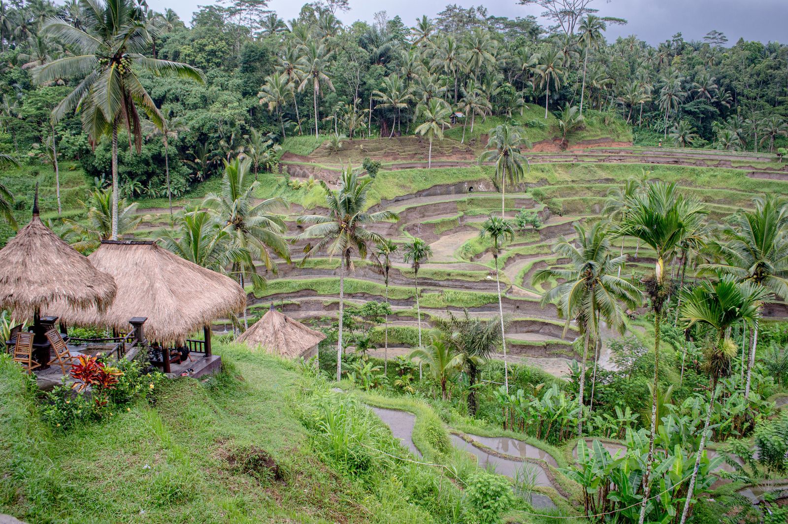 Photo: Philip Nalangan, CC BY 4.0
Bali Jungle Travel Guide
Everything you need to plan the interior of Bali — Ubud, Sidemen and the northern highlands — where to stay in the jungle, when to go and what it actually costs.
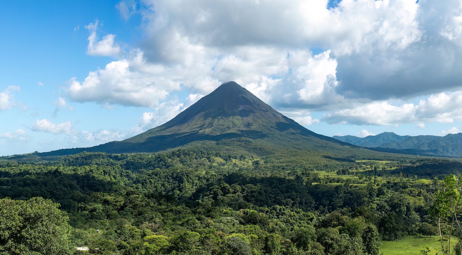 Photo: Rhododendrites, CC BY-SA 4.0
Costa Rica Rainforest Travel Guide
The definitive guide to Costa Rica's rainforests — cloud forest, Pacific lowlands and the wild Osa Peninsula — with where to stay and when to go.
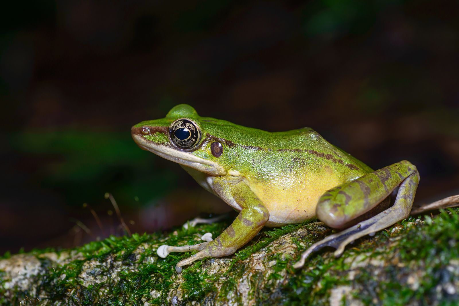 Photo: Rushenb, CC BY-SA 4.0
Thailand Jungle Travel Guide
Beyond the beaches: Khao Sok's ancient rainforest, the northern hills around Chiang Mai and the karst jungle of the south.
 Photo: Derek Ramsey (Ram-Man), CC BY-SA 4.0
Find your own piece of the canopy.
Treehouses, bamboo houses and rainforest villas across 17 destinations — found, vetted and written up honestly.
Browse all destinations