El Yunque National Forest Guide
El Yunque is the only tropical rainforest in the U.S. National Forest System, and it's close enough to San Juan that you can eat breakfast in the city, stand under a waterfall by mid-morning, and be back for dinner. That proximity is the whole story for a lot of travelers, but it undersells the forest itself — a genuinely dense, genuinely loud, genuinely alive mountain rainforest with real trails, real towers and a frog chorus that starts the second the sun goes down. This guide covers El Yunque specifically: how to get in, which trails and towers are worth the climb, where the waterfalls actually are, what you'll hear and see, and where to base yourself in the towns ringing its edge.
What El Yunque is, and why it's worth the trip
El Yunque National Forest sits in the Sierra de Luquillo, on the northeastern shoulder of Puerto Rico, roughly 45 minutes from San Juan on a normal traffic day. It covers a bit more than 28,000 acres and holds a designation worth pausing on: it's the only tropical rainforest inside the entire U.S. National Forest System. Every other national forest in the country is temperate — pine, fir, hardwood stands that go dormant in winter. El Yunque doesn't. It's warm and wet essentially year-round, and the difference registers the moment you step under the canopy: the air goes thick, the plant life stacks up in unfamiliar layers, and there's almost always the sound of moving water somewhere nearby.
The forest takes its name from El Yunque, the mountain at its center, and you'll hear two explanations for where that name comes from. One is that the peak's blunt, squared-off shape resembles an anvil — yunque in Spanish. The other, favored locally, traces it to Yúquiyu, a spirit from Taíno mythology associated with the mountain and said to protect the island from harm. For a long stretch of the twentieth century the forest was officially named the Caribbean National Forest before reverting to the local name, which tells you something about how strongly Puerto Ricans feel about what to call their own mountain.
What sets El Yunque apart from bigger rainforest destinations covered elsewhere on this site — the Amazon, or the deep interior of Costa Rica — isn't scale. It's how much wildness sits behind how little effort. A paved road climbs well into the forest. There's a real visitor center with exhibits and a theater. Marked, maintained trails lead to towers and waterfalls you can reach in under an hour of walking. None of that infrastructure dilutes what's actually growing and living here — it just means you don't need a guide, a permit application months in advance, or a multi-day trek to get inside a forest this dense. For a U.S.-based traveler weighing whether a "real" rainforest trip requires a long-haul flight, El Yunque is the answer that it doesn't, at least not always.
Elevation does a lot of the forest's work. The lower slopes hold tabonuco forest — tall hardwood canopy typical of Caribbean lowland rainforest — while the upper reaches, above roughly 2,500 feet, shrink into dwarf or "cloud" forest, where constant wind and moisture stunt the trees into low, gnarled, moss-covered stands. You can drive and hike through both zones in a single morning, which is part of what makes El Yunque feel bigger than its acreage suggests.
Getting there
Puerto Rico is a U.S. territory, which strips out most of the friction a rainforest trip usually carries. U.S. citizens need no passport, there's no customs on arrival, and the currency is the U.S. dollar, so there's no exchange rate to think about. Luis Muñoz Marín International Airport (SJU), on the edge of San Juan, is the gateway almost everyone flies into, with frequent nonstop service from Miami, New York, Atlanta, Dallas and a long list of other U.S. cities.
From SJU, El Yunque is a straightforward drive: Route 3 east, then PR-191 south into the forest, under an hour in normal traffic. PR-191 is the only road into the forest's developed recreation area, and it's the spine everything in this guide hangs off — El Portal, the main trailheads, the towers and the falls all sit along it. A rental car gives you the most control over timing, which matters here because the popular trailheads fill by mid-morning. Guided day tours from San Juan are a solid alternative on a first visit, especially if you'd rather not deal with mountain-road driving or keep track of current access rules yourself.
Access along PR-191 has changed more than once in recent years, so treat any fixed rule you read — including this one — as something to double-check before you fly. At times the Forest Service has required an advance paid reservation through Recreation.gov for the most popular stretch of the corridor; at other times, including recently, entry has reverted to first-come, first-served with no charge, subject to capacity limits tied to parking and ongoing construction, and gate hours running roughly 8 a.m. to 5 p.m. There has also been a proposal on the table for an annual recreation pass in the neighborhood of $20 for an individual and $30 for a family of four. None of that is worth memorizing — what's worth doing is checking the Forest Service's own current-conditions page in the days before you go, since a plan built around outdated access rules is the single easiest way to waste a morning of an El Yunque trip.
If you're staying in Río Grande, Luquillo or Fajardo rather than commuting from San Juan, the drive into the forest shrinks to 15–30 minutes, which is the real case for basing yourself close rather than treating El Yunque as a single day trip bolted onto a San Juan vacation.
The trail network
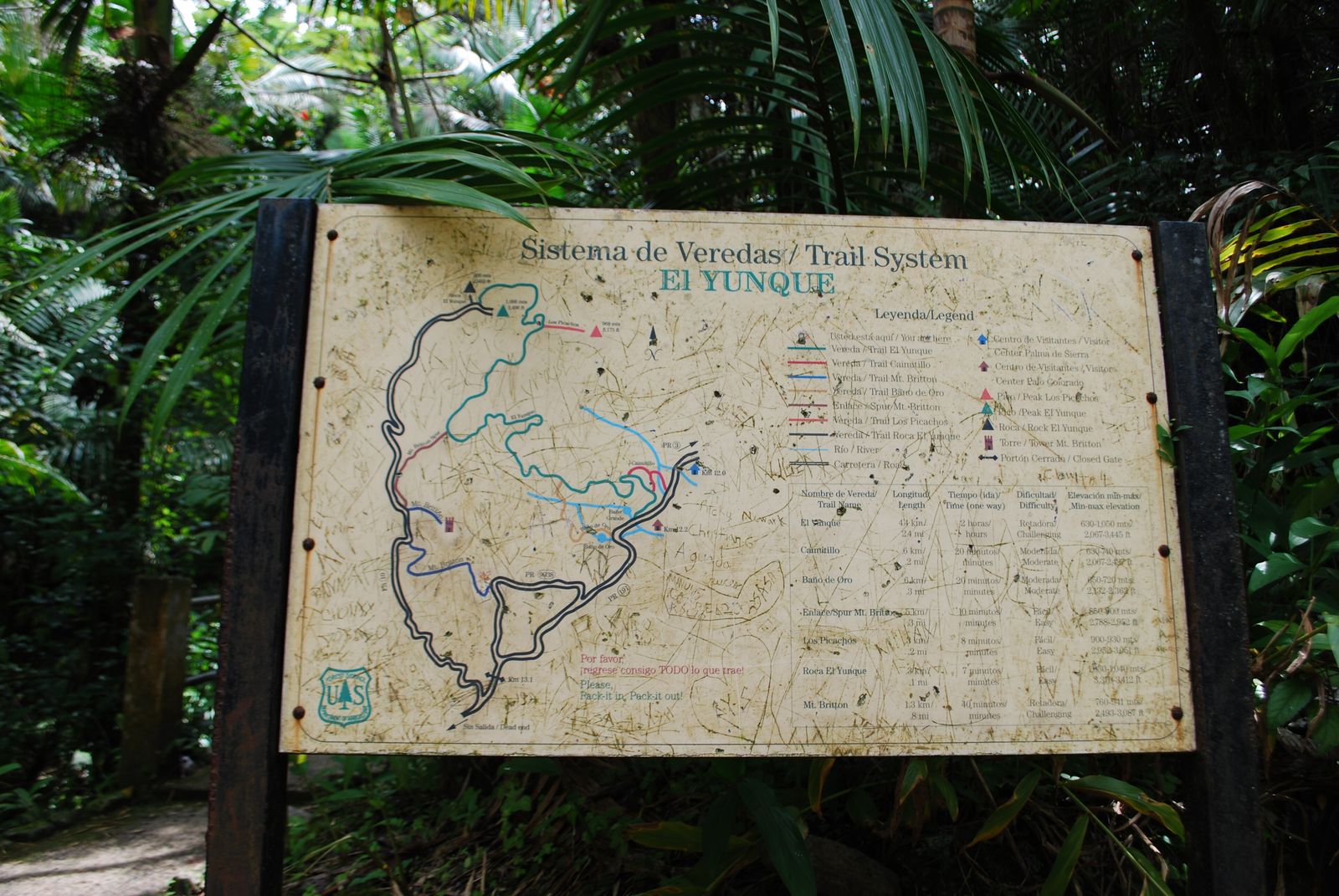
El Yunque's trails are short by rainforest standards — nothing here demands a multi-day trek — but they're steep, often wet, and genuinely rewarding for the time they take. Start at El Portal de El Yunque Rainforest Center near the PR-191 entrance for orientation, current trail status and maps; the visitor center reopened in 2022 after a long closure and now has exhibits on the forest's ecology, a theater, a cafe and a gift shop, plus ranger-led programs that sometimes include a look at the Puerto Rican parrot recovery effort.
La Mina Falls Trail
The signature hike, and the one to prioritize if you only have time for one. It's a moderate walk of roughly 1.5 miles round trip through dense forest down to La Mina Falls, a genuine swimmable waterfall. It's also the busiest trail in the forest, so an early start matters more here than almost anywhere else in this guide — arrive after mid-morning on a weekend and you'll be sharing the pool with a crowd rather than a handful of other hikers.
Mt. Britton Trail
A steeper out-and-back, about 1.7 miles round trip with roughly 45 minutes of climbing each way and about 650 feet of elevation gain, ending at the Mt. Britton observation tower at 3,087 feet. The upper stretch passes through dwarf, cloud-forest vegetation that only grows at El Yunque's higher elevations — shorter, wind-bent trees draped in moss — so the hike itself is a compressed lesson in how much elevation changes a tropical forest.
Caimitillo Trail
A short, easy interpretive loop, about 0.2 miles and 15–20 minutes one-way, with signage explaining the forest's plant life. A good option if you're short on time, traveling with kids, or want an easy introduction before tackling something steeper.
Angelito Trail
A short, family-friendly trail leading to a river and a natural swimming spot — a reasonable substitute for La Mina if that trail's crowds or a tight schedule rule it out, and generally a quieter experience.
Trail closures happen after heavy storms and during construction work, and they're not always reflected on third-party trip-planning sites. Check status at El Portal or on the Forest Service's own conditions page before you commit a whole morning to a specific route.
The observation towers
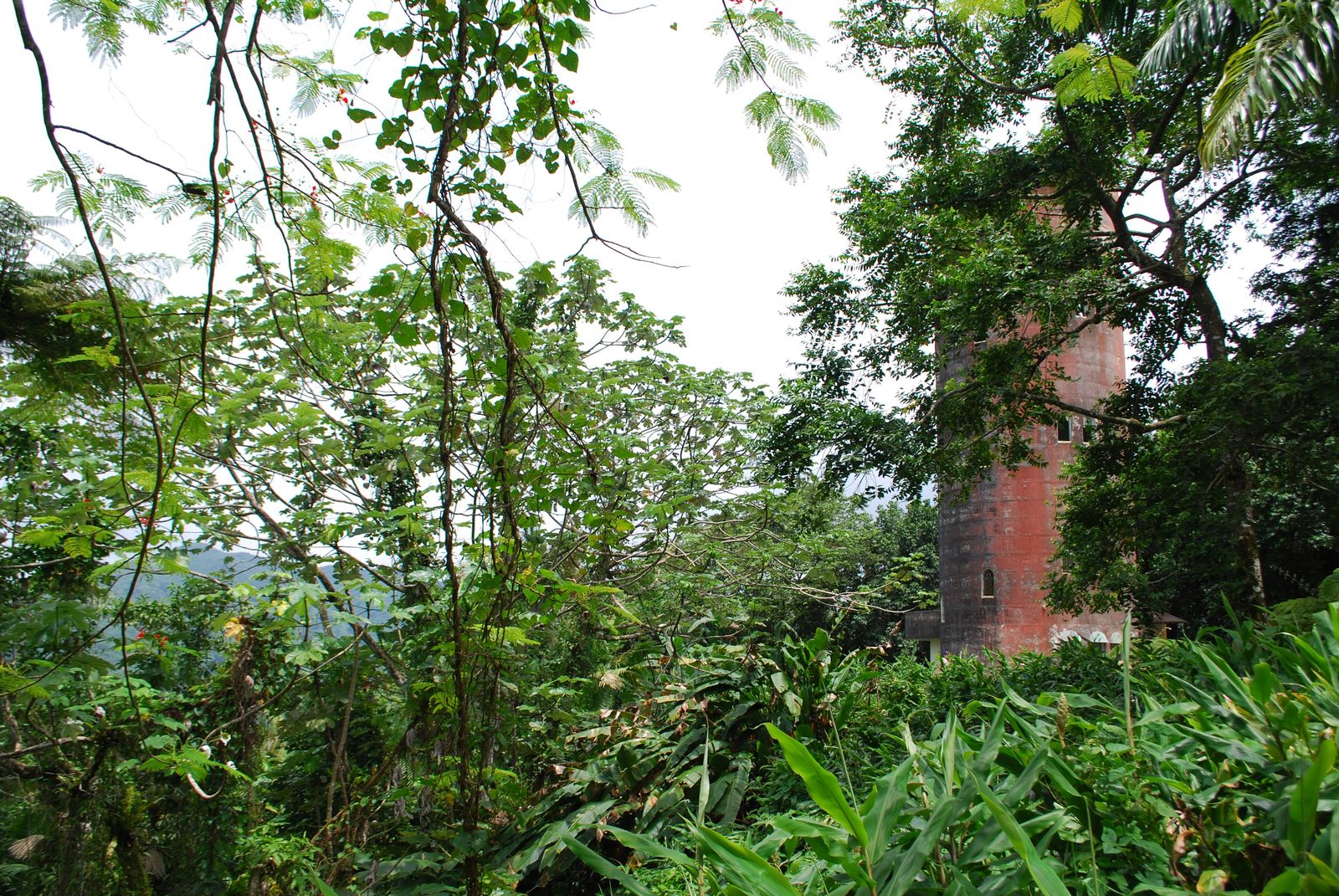
El Yunque has two towers worth building a plan around, and they ask very different things of you. Yokahú Tower requires no real hiking at all — just a short walk from a roadside parking area and a stair climb up a stone structure — and rewards you with a sweeping view over the canopy toward the coast on a clear day. It's the tower to visit if you're short on time, traveling with people who can't manage a steep trail, or simply want a payoff without the climb.
Mt. Britton Tower is the harder-won version of the same idea. It sits higher — 3,087 feet, well above Yokahú — at the end of the trail described above, and the stone structure itself dates to the 1930s, built in an era when a lot of El Yunque's early infrastructure went in. The view from the top takes in canopy, cloud forest and, on a clear day, the Atlantic beyond the coastline. Cloud cover at this elevation is common enough that a clear view isn't guaranteed on any given visit — treat it as a good chance rather than a sure thing, and don't schedule a whole day around a photo that depends on the weather cooperating.
Good to know
Both towers can be socked in by cloud with little warning, even on a day that started sunny at sea level. If a clear summit view matters to you, go early — cloud tends to build through the afternoon — and have a backup plan (La Mina Falls, one of the shorter trails) that doesn't depend on visibility.
Waterfalls and swimming holes
Water is the constant thread through any El Yunque visit — the Sierra de Luquillo catches Atlantic moisture as it rises, and the result is a forest laced with rivers and falls that run even on days that started clear. La Mina Falls, at the end of the trail of the same name, is the forest's best-known swimming spot: a real waterfall dropping into a pool large enough to swim in, reached by a walk short enough for most fitness levels but steep enough in places to need real footwear rather than sandals.
It's worth being honest about what a visit to La Mina actually looks like most days: it is popular, the trail can feel more like a procession than a wilderness walk by late morning, and the pool itself is shared rather than solitary. None of that makes it not worth doing — the setting is genuinely beautiful and the swim is genuinely good — but if solitude is what you're after, the shorter, less-trafficked routes like Angelito will get you closer to it, even if the payoff waterfall is smaller.
Water levels rise fast after heavy rain, which in El Yunque is most afternoons for at least part of the year. A pool that looked calm in the morning can be running high and fast by early afternoon. Don't attempt a crossing that looks higher or faster than what you saw on the way in, and don't swim during or immediately after a heavy downpour — the same rain that feeds the falls can turn a gentle pool into a genuine hazard within the hour.
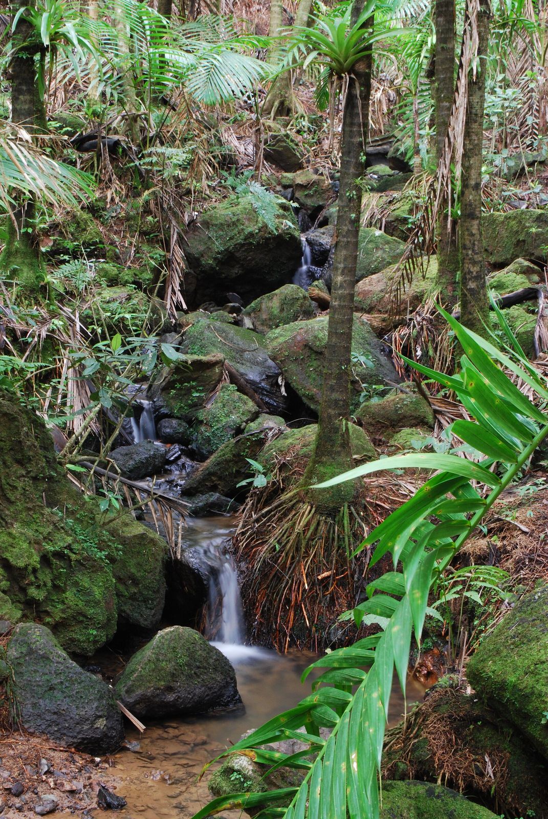
You can be swimming under a waterfall inside a U.S. national forest less than an hour after leaving the airport. Not many jungle destinations on this site let you move that fast from arrivals hall to rainforest pool.
The wildlife — mostly heard, sometimes seen
El Yunque's wildlife reputation runs more on sound than sight, and that's genuinely one of the best things about visiting rather than a disappointment. After dark — and often starting right at dusk — the forest fills with the call of the coquí, a tiny native tree frog small enough to sit on a fingertip, named for the two-note whistle of its own call. Puerto Rico has 17 coquí species found nowhere else on Earth, and El Yunque alone is home to 13 of them, which makes a night here one of the most concentrated coquí choruses anywhere on the island. Stay somewhere with the forest close by and you won't need to seek this out — it comes to you the moment the sun goes down.
The forest's rarest resident is the Puerto Rican parrot, known locally as the iguaca, a bright green bird with red and blue accents found only in Puerto Rico and nowhere else in the wild. Its story is one of the more dramatic conservation narratives in the Caribbean: by 1975 the entire wild population had fallen to around 13 birds, and decades of captive breeding and reintroduction work have pulled it back from the edge, including establishing a second wild population at Río Abajo State Forest specifically so a single hurricane couldn't wipe out the whole species in one storm. El Portal runs ranger-led programs that sometimes include a look at this recovery work. Spotting a wild iguaca on a trail is genuinely possible but a matter of luck and quiet timing rather than something to expect on a single visit — treat it as a real highlight if it happens, not a given.
Reptiles are a quieter presence underfoot: several native anole lizard species are common on trailside leaves, and the Puerto Rican boa, the island's largest native snake, lives in the forest, though it's nonvenomous, shy and rarely seen by day hikers. That absence of danger is worth stating plainly — Puerto Rico has no venomous snakes and no large predatory mammals, and nothing in El Yunque poses a real threat to a hiker who stays on marked trails. Birdlife beyond the parrot includes the Puerto Rican tody, a small, vividly colored bird endemic to the island, along with several hummingbird species that work the forest's flowering understory. This isn't big-mammal wildlife-watching country the way parts of Costa Rica or the Amazon are — go in expecting frogs, birds and the occasional lucky parrot sighting rather than anything larger, and the visit tends to land better.
Where to stay
The towns ringing El Yunque's northern and eastern edge — Río Grande, Luquillo and Fajardo — are where nearly every jungle-adjacent stay on this side of the island clusters, and each has a slightly different character worth knowing before you book. Río Grande sits closest to the PR-191 entrance and is the natural base if you want to get into the forest quickly and repeatedly rather than making a single big day of it. Luquillo, a short drive up the coast, pairs rainforest proximity with one of Puerto Rico's better-known beaches and an actual town center, which makes it a good pick if you want forest mornings and beach afternoons without much driving in between. Fajardo, further east, leans toward the marina and the bioluminescent bay tours at Laguna Grande, and suits a trip that's combining El Yunque with time on the water or a hop to the outer islands.
This is casita-and-guesthouse country rather than resort-strip country, which fits the way JungleBnB looks at a trip anyway — stays set into the forest edge rather than facing it from a distance. Two real examples on the JungleBnB directory sit right in this corridor: the El Yunque View Treehouse, a treehouse-style stay with the forest visible from the property, and the chalet near Luquillo, which puts you close to both the beach and the PR-191 entrance. Neither is a resort, and that's rather the point — you're staying at the forest's edge, not looking at it from a hotel balcony a half-hour away.
For the full, vetted shortlist of stays in this area, see our Puerto Rico destination page, and browse the wider directory if you're still weighing Puerto Rico against another jungle-adjacent U.S. option — Florida and Hawai'i both come up often as the other easy-to-reach comparisons.
Beyond the forest boundary
El Yunque is a full day on its own, but Puerto Rico's small size means it pairs easily with things well outside the forest boundary, and most of them sit within a short drive of Río Grande or Luquillo. Luquillo Beach is the obvious add-on — calm, family-friendly, backed by a strip of local food kiosks along the sand, and close enough to the forest entrance to make a "rainforest morning, beach afternoon" day genuinely realistic rather than aspirational.
Fajardo, a bit further east, is worth the drive for Laguna Grande, one of Puerto Rico's bioluminescent bays. On a dark, ideally moonless night, a paddle stroke disturbs a dense concentration of dinoflagellates in the water and the wake glows blue-green — a strange, genuinely worth-seeing phenomenon best experienced on a guided kayak tour rather than attempted independently. It's a natural pairing with an El Yunque-focused trip and a good way to close out a day that started on a rainforest trail.
If you have more time, Culebra and Vieques, both reachable by ferry or short flight from the main island, round out a trip well — Vieques in particular is home to Mosquito Bay, regarded as one of the brightest bioluminescent bays on Earth, a step up even from Laguna Grande. None of this is necessary to have a complete El Yunque trip, but it's worth knowing how much sits within easy reach if you have more than a couple of days on the island.
When to go
Puerto Rico runs warm year-round, typically somewhere around 80°F (27°C) most months, so the real planning question isn't temperature — it's rain, hurricane risk and crowds.
- December–April: the closest thing the island has to a dry season, sunnier and a notch less humid, but also peak tourist season with holiday pricing around Christmas, New Year's and Easter week. Book lodging and check current access rules for PR-191 well ahead.
- Mid-April–June: a genuinely good shoulder window — winter crowds have thinned, prices ease, and the heaviest rains haven't fully set in.
- June 1–November 30: the Atlantic hurricane season, which overlaps almost exactly with Puerto Rico's rainy season. Most days through this stretch bring a passing shower rather than a storm, but it's worth checking the tropical outlook before you travel and building some flexibility into your dates.
- August–September: the peak of both rain and hurricane risk. A direct hit is far less common than the season's reputation suggests, but this is the window where a trip is most likely to intersect with a genuine storm system.
- October–November: rain and storm risk taper off, crowds thin, and prices often follow — an underrated stretch for travelers comfortable with some residual rain risk.
Inside El Yunque itself, rain isn't seasonal so much as constant background weather — the upper forest can see rain on the large majority of days across the year, which is exactly what keeps it a rainforest rather than a seasonal jungle. Plan for a poncho and quick-dry clothes whenever you go, rather than trying to time a visit around a dry stretch that may not come.
Honest caveats
El Yunque earns its popularity, and that popularity is worth planning around rather than pretending it doesn't exist. La Mina Falls Trail in particular gets crowded fast — by mid-morning on a weekend, the walk down can feel more like a line than a hike, and the pool at the bottom is a shared one, not a private discovery. If solitude matters more to you than ticking off the most famous waterfall, lean toward the shorter, quieter trails and go early.
Connectivity thins out fast once you're on PR-191 and climbing. Cell service is patchy to nonexistent in stretches of the forest, which is mostly a feature rather than a bug, but it means downloading maps and any reservation confirmations before you leave your lodging rather than counting on a signal once you're inside the boundary.
Roads and access rules here have genuinely changed more than once in recent years — reservation requirements have come and gone, fees have been proposed and shelved, and construction work has closed sections of trail or limited parking capacity at points along PR-191. None of this should scare you off a visit; it just means the smart move is checking the Forest Service's own current-conditions page in the days before you go rather than trusting a blog post, including this one, to have the exact current rule.
Finally, weather changes the plan more than any single-day itinerary can account for. Trails can turn slick within minutes of a downpour starting, streams can rise fast, and a tower view that looked promising from the parking lot can be socked in by cloud twenty minutes later. Build in slack rather than a tight schedule, and treat a rained-out plan as normal rather than bad luck — it's simply what a rainforest does.
Common questions
How far is El Yunque from San Juan?
Under an hour's drive in normal conditions, via Route 3 and then PR-191, the road that climbs directly into the forest's recreation area. It's one of the closest genuine rainforests to a major international airport anywhere in the world.
Do I need a reservation to visit El Yunque?
It depends on when you're reading this. The Forest Service has required a paid advance reservation through Recreation.gov for the PR-191 corridor at times, and reverted to free, first-come, first-served entry with capacity limits at others. Check the Forest Service's current-conditions page in the days before your trip rather than relying on a fixed rule.
How many days should I spend at El Yunque?
One full day covers the highlights well — La Mina Falls, one of the towers, and El Portal for orientation. Two days lets you go at a slower pace, dodge the busiest midday hours on the main trail, and add a quieter route like Angelito or the Caimitillo interpretive loop.
Is El Yunque dangerous — snakes, wildlife, terrain?
Not in the way some jungle destinations can be. Puerto Rico has no venomous snakes and no large predatory mammals, and the Puerto Rican boa found in El Yunque is nonvenomous and rarely encountered. The real risks are practical: slick trails after rain and fast-rising streams during heavy downpours. Stay on marked trails and respect closures rather than worrying about dangerous animals.
Can I see the Puerto Rican parrot in the wild?
It's possible but not guaranteed. The species fell to around 13 wild birds by 1975 and remains one of the most endangered birds on Earth, though decades of recovery work have grown the population and established a second wild group at Río Abajo State Forest. A sighting on an El Yunque trail is a matter of luck and quiet timing rather than something a single visit can count on.
What should I bring on a day trip into the forest?
Quick-dry clothing, real footwear with grip rather than sandals, a light rain shell, sunscreen for when the sun does break through, and water. A phone with maps downloaded in advance is worth more than you'd think, given how patchy cell service gets once you're climbing PR-191.
Where to go from here
El Yunque is one of the easiest rainforest trips a U.S.-based traveler can put together — no passport, no long flight, a real tropical forest under an hour from the airport. Start with our Puerto Rico destination page for a shortlist of vetted stays around the forest, or browse the full directory if you're still comparing Puerto Rico against another jungle destination. For a sense of why this kind of trip has caught on, our piece on why jungle stays are booming is worth a read, and our roundup of the best jungle Airbnbs in the world is a good next stop if you're building out a longer trip. If you liked the idea of a single national park anchoring a whole itinerary, our guide to La Fortuna and Arenal Volcano in Costa Rica follows the same shape.
- U.S. Forest Service — El Yunque National Forest — official forest overview, size, designation as the only tropical rainforest in the National Forest System.
- U.S. Forest Service — El Yunque Current Conditions — PR-191 corridor access status, hours and capacity management.
- U.S. Forest Service — El Yunque Fee Proposal Q&A — proposed annual pass pricing for the recreation corridor.
- U.S. Forest Service — Mt. Britton Trail and Tower — trail distance, elevation and tower details.
- U.S. Forest Service — El Portal de El Yunque Rainforest Center — visitor center reopening, facilities and ranger programs.
- Discover Puerto Rico — 7 Best Hiking Trails in El Yunque National Forest — La Mina Falls, Caimitillo and Angelito trail details.
- Forbes — Wildlife Spotlight: Searching For Puerto Rico's Native Parrots — Puerto Rican parrot population history and Río Abajo recovery program.
- Puerto Rico Activities — El Yunque National Forest Animals — coquí species counts and forest wildlife overview.
More from the Journal.
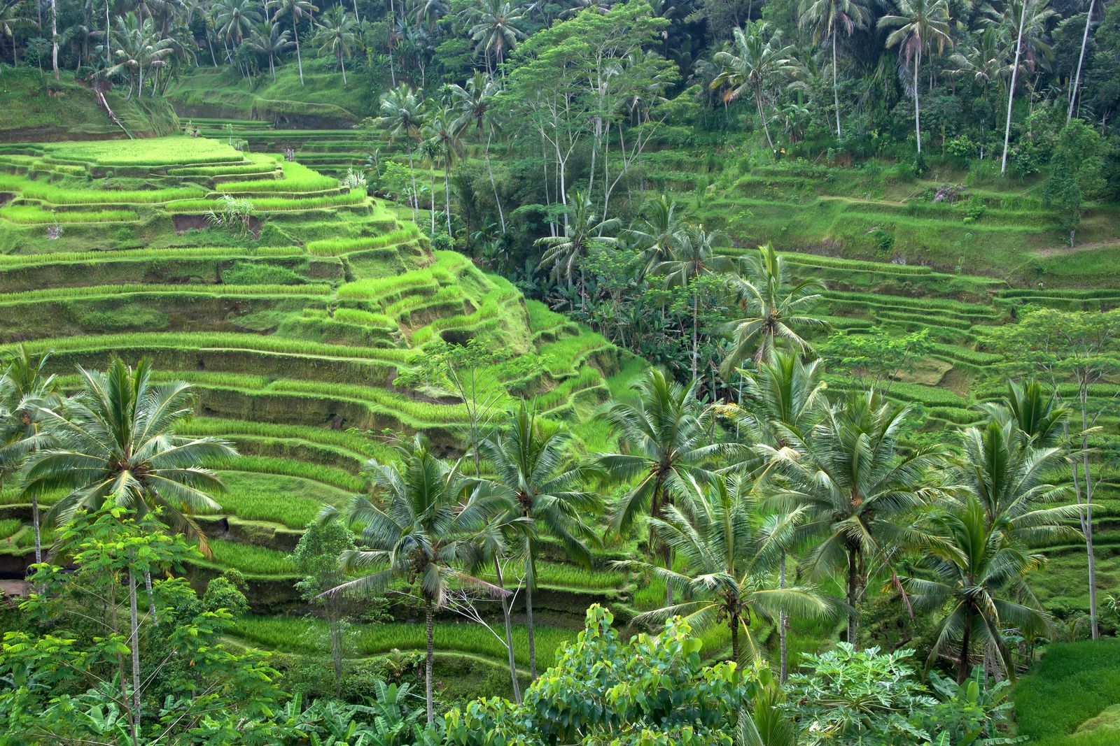 Photo: Vyacheslav Argenberg, CC BY 4.0
Ubud Jungle Guide
Bali's cultural heart is ringed by river gorges and terraced forest. Where to stay in the Ubud jungle, what to do, and how to escape the crowds.
 Photo: Adimelali Bali, CC BY-SA 3.0
Sidemen, Bali: The Quiet Valley Guide
An hour from Ubud and a decade behind it — Sidemen is the rice-terrace valley under Mount Agung where Bali's best bamboo houses hide.
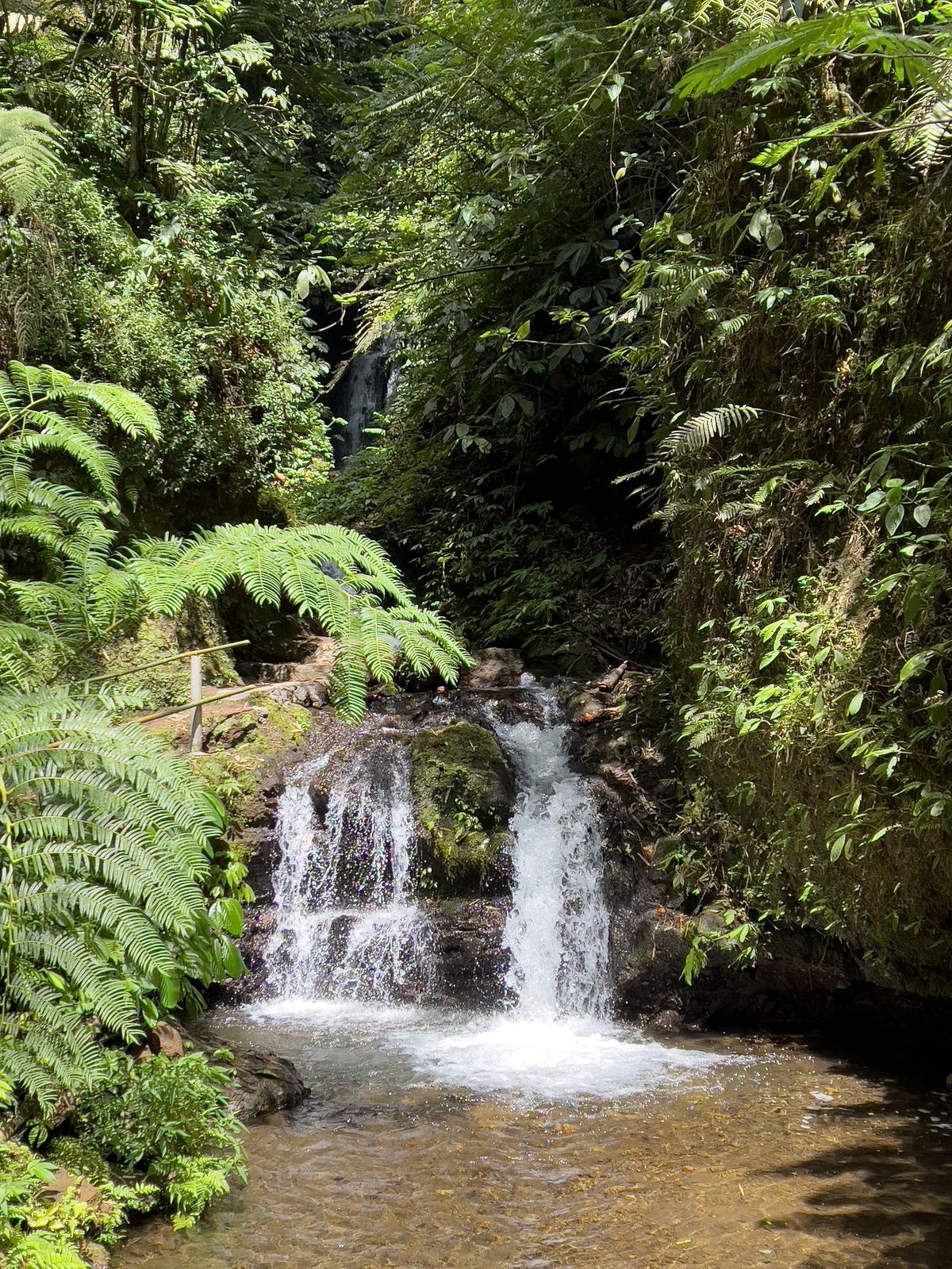 Photo: Stefan Fussan, CC BY-SA 3.0
Munduk & North Bali Highlands Guide
Bali's cool, waterfall-laced highlands — coffee country, twin lakes and jungle ridges two hours from the beach crowds.
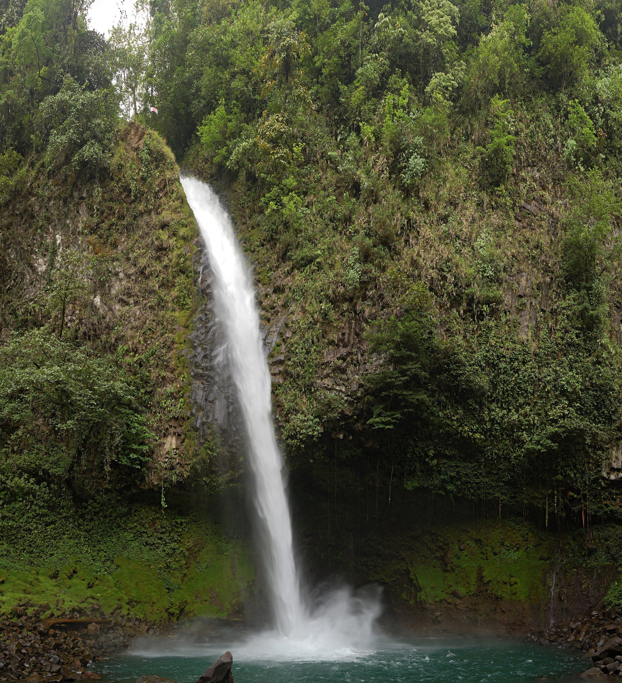 Photo: Derek Ramsey (Ram-Man), CC BY-SA 4.0
Find your own piece of the canopy.
Treehouses, bamboo houses and rainforest villas across 17 destinations — found, vetted and written up honestly.
Browse all destinations